
A widespread fire southeast of Tirana has burned about 20 hectares in an area stretching between Daias, Lundër, Farkë and Priskë e Madhe. According to the version provided by the structures on the ground, most of the damage is to forested land, while olive groves, vineyards and two uninhabited homes have also been affected.
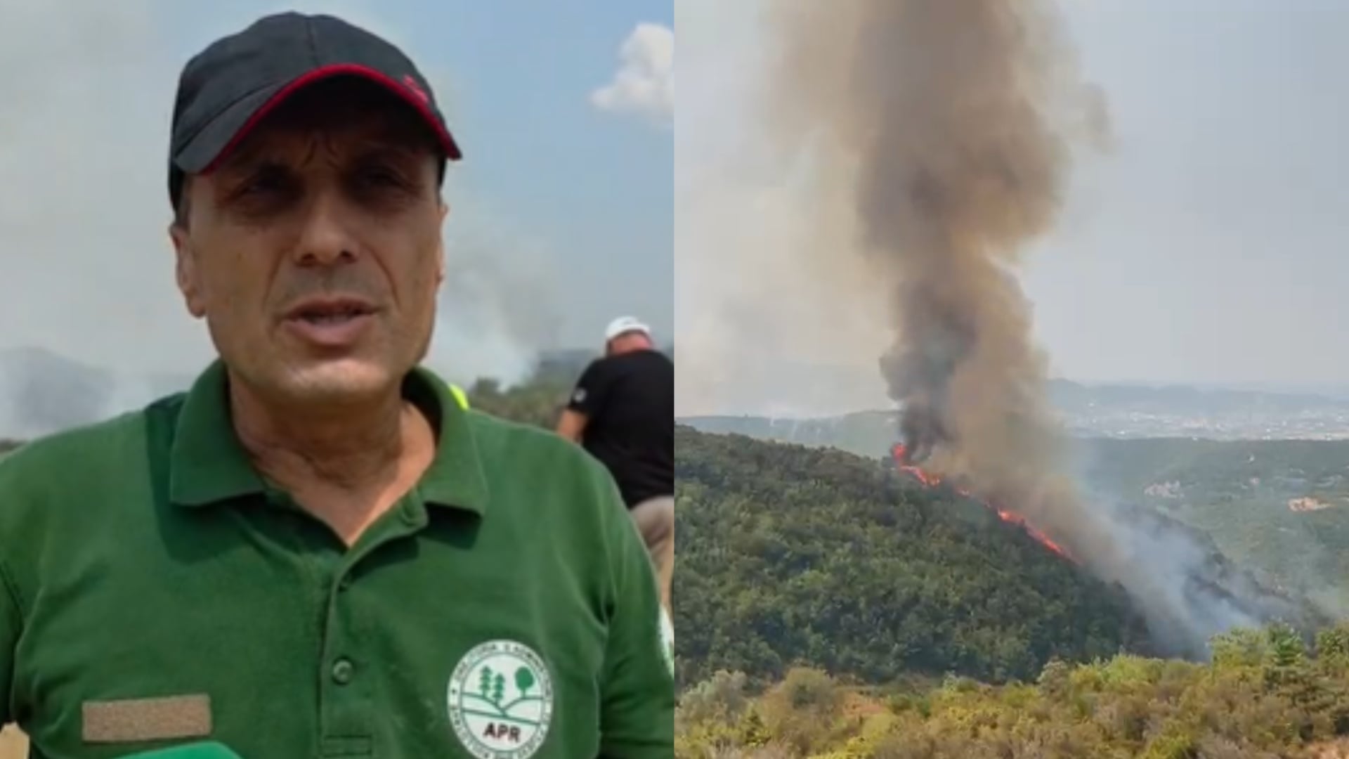
The flames started in Priskë, according to the inspector on the ground
According to Pëllumb Gjobi, an inspector at the Agency of Parks and Recreation, the fire started in Priskë and then spread across a wide area of scrubland, aided by the wind.
The affected area includes the territory between Daias, Lundër, Farkë and Priskë e Madhe, a perimeter that has made the intervention more complicated and control of the flames more difficult.
About 20 hectares burned, most of it forest land
According to the same source, nearly 20 hectares have burned, mainly forest. This means the damage is not limited only to low vegetation, but also affects a considerable stretch of greenery in the area.
Beyond the forests, damage has also been reported to olive groves and vineyards, directly affecting the agricultural economy of local residents.
Two uninhabited homes burned in Lundër
According to statements from the ground, the damage in inhabited areas appears more limited compared with the affected forest area. So far, two uninhabited homes are reported to have burned in the Lundër area.
For the other villages within this perimeter, no other damage to homes has been reported, again according to information provided by representatives on the ground.
The terrain and wind are keeping the situation difficult
According to the APR inspector, the flames have been difficult to tackle because of the terrain and weather conditions. Firefighters and other structures have been engaged in the operation.
Authorities say the fire started 5-6 days ago in Priskë and that efforts to keep it under control are continuing. However, the wind and rugged terrain remain the main factors that have helped the flames spread.
The preliminary toll points to a considerable burned area and damage extending beyond the forest, affecting agricultural crops and property as well.
For now, public information is based on statements from structures on the ground, while the full picture of the damage remains to be verified.